Lack of Information
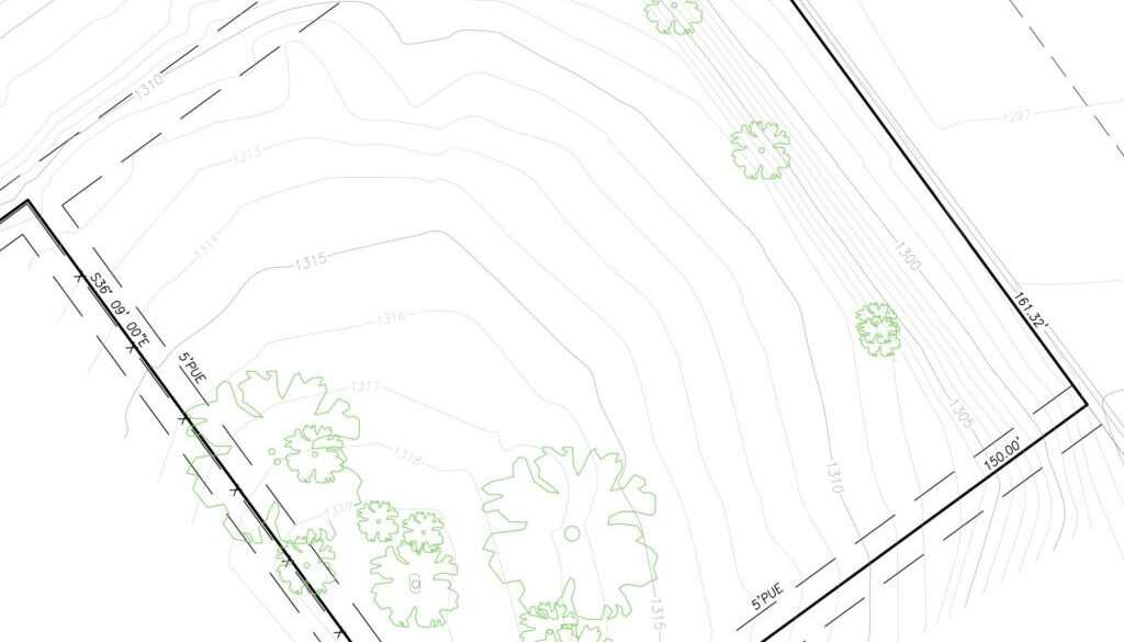
After the decision has been made, and after the requirements document written, I lacked the information that would allow me to plan for the new house. Namely, I needed the land survey, and the topographic map of the property. That would allow me to know the elevation differences, locate a potential spot for a hangar and a driveway.
Choosing a Surveyor
I obtained 4 contacts for local area surveyors. I sent out emails to all four of them. One did not respond at all, so they were out. One came highly recommended by at least one, if not two architects I was discussing the project with. His offer was acceptable, but another surveyor came in with much cheaper offer.
I made the decision to go with the recommended surveyor, but he stopped responding to my emails. It turned out he took a week off. I then engaged the cheaper surveyor, and he was able to complete the work quickly. I had the topographic maps in three days!
Potential Problem Discovered
The surveyor discovered a potential problem with the property. The airpark was created in nineteen-sixties by subdividing a large parcel. The county reserved a Public Utility Easement on the borders of each parcel.
In year 1998, the previous owner bought one parcel. A year or two later they bought another, adjoining parcel. They merged the lots into one, bigger lot, but never took care of the easement that was now running through the middle of the merged parcel. Since they never built on the property, that was not a problem.
The easement could pose a problem for us. My initial idea of house placement was to place it right in the middle, on top of that easement. Another idea would be to place the house near the oak trees, but the hangar would have to be detached that way.


